Mangar Rockfall

Home Portfolio Mangar Rockfall


A Mountain and a Spring Rose

Hidden in the hills of Baringo South lies one of nature’s most surprising stories. Thousands of years ago, a cliff of dark volcanic rock weakened by the constant flow of a river cutting through it gave way and crashed down the valley in a dramatic rockfall. Enormous boulders tumbled and came to rest along the riverbed, blocking the natural flow of water underground.

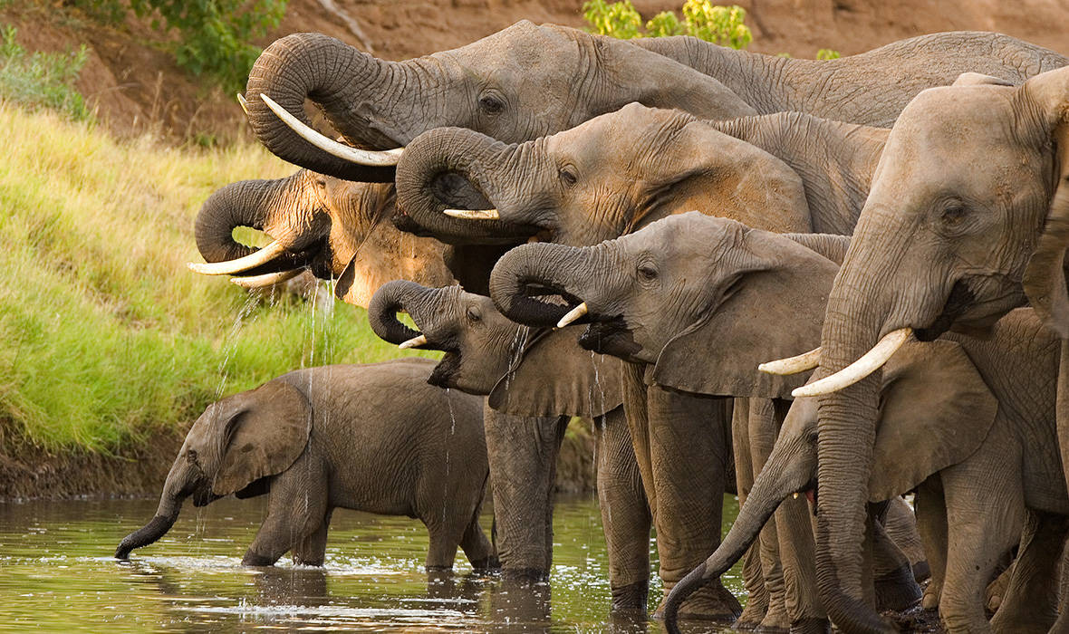
What happened next was remarkable: where the rocks settled, a permanent natural spring emerged. That spring has never dried up. Today, it is the main source of water for the Mangar community, their animals, and the wildlife that share this landscape. A geological disaster became a lifeline.

What You Will See at Mangar

Visiting Mangar is like reading the pages of the Earth’s history written in rock. The site features:

  • Massive fallen rock blocks — these are the boulders that tumbled from the cliff face, some as large as houses, now resting where they landed thousands of years ago.
  • A deep river gorge — carved over thousands of years by the river cutting through layers of ancient lava flows, this gorge is one of the most striking natural features in the area.
  • Exposed rock layers — on the riverbed, you can see two distinct layers of ancient volcanic rock stacked on top of each other, separated by a thin band of volcanic ash — a natural record of two separate eruptions from the East African Rift.
  • The community spring — a clean, permanent water source that emerged as a direct result of the rockfall, still flowing today and supporting the entire Mangar valley.


Nature, Wildlife & Community Heritage

The Mangar valley is not just about rocks , it is alive with nature and culture. The spring and the river support a variety of birds, fish, and wildlife that depend on the water flowing here year-round. The surrounding bushland is home to traditional medicinal plants that local communities have used for generations.

For the people of Mangar, this valley holds deep cultural significance. It has long served as a gathering place for community celebrations and important local events, making it a living landscape that bridges the ancient past and everyday life today.

How to Get There

Getting to Mangar is straightforward and no special permit is required. Here is how:

  • From Nakuru or Nairobi, take the Nakuru–Sigor (B4) road northwards.
  • At Marigat, turn onto the Marigat–Kabarnet (C51) tarmac road and drive to Kimalel.
  • At Kimalel Mixed Secondary School, branch off onto a gravel road and drive south for about 9 km.
  • Take the south-east gravel road into Mangar and follow signs to the conservancy.

📌  GPS Coordinates: 0°23.282’N, 35°54.937’E  |  No entry permit required  |  Managed by Mangar Community Conservancy

Why Mangar Matters

Mangar is one of the very few known sites in the East African Rift Valley where a single geological event a rockfall  directly created a permanent water source still in use today. This makes it not just scientifically interesting, but deeply relevant to the lives of the people who call this valley home.

The site is well-preserved, visually striking, and almost entirely intact  a rare quality that makes it an outstanding example of how the forces that built the Great Rift Valley continue to shape the landscapes and communities of Baringo County.